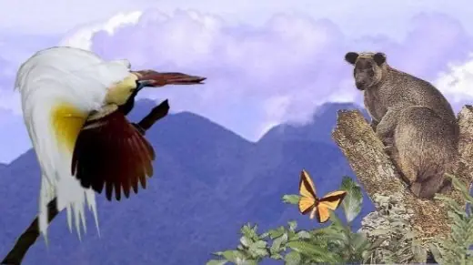
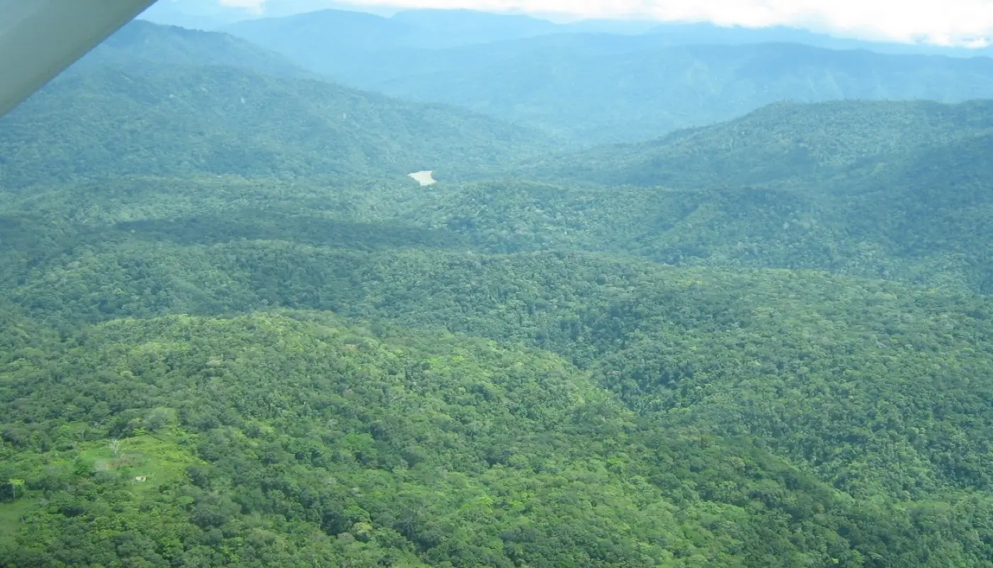
168,000 hectares of largely undisturbed highland rainforest confirmed under community consent, with a target of 302,000 hectares by 2030 — set to be the first conservation area in the PNG Highlands.
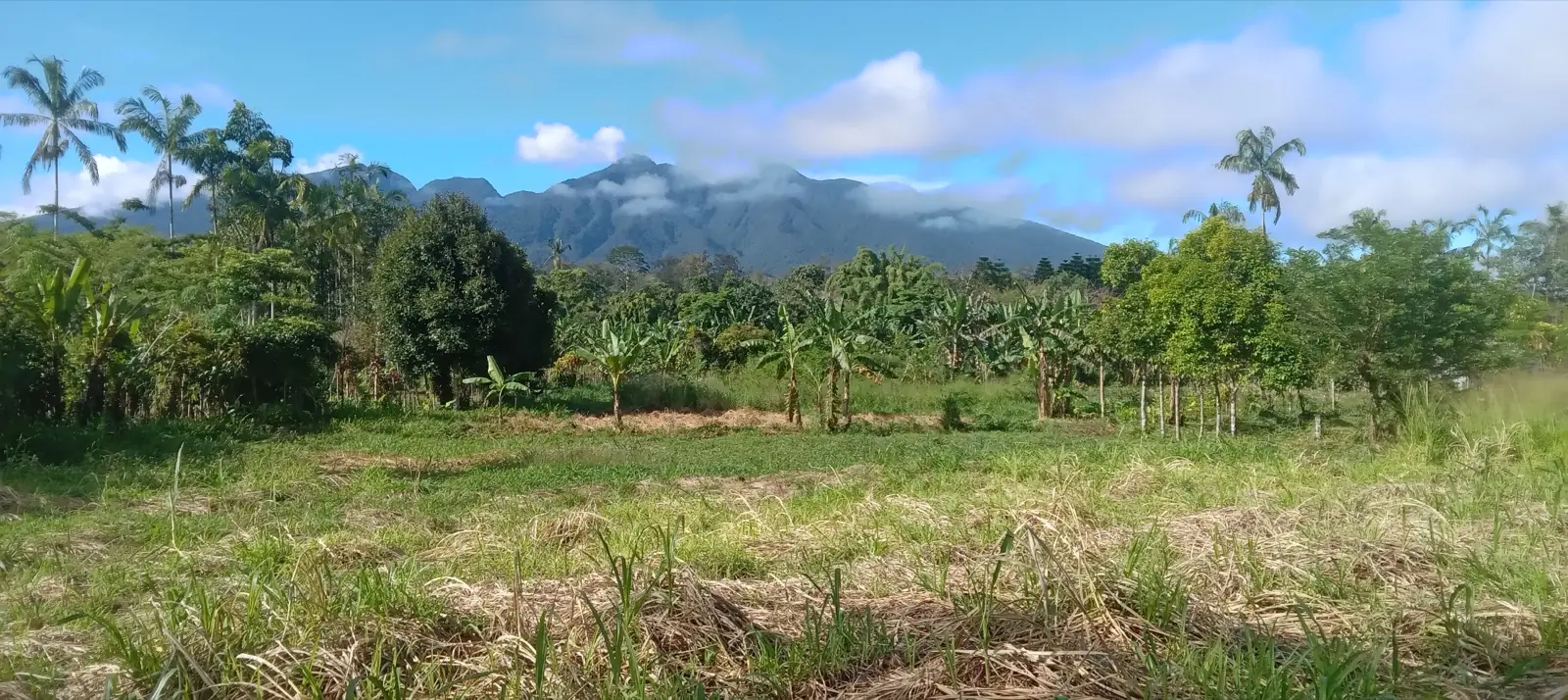
Mt Karimui is an extinct volcano with a blown-out caldera, surrounded by the Karimui Plateau and discrete peaks. The plateau sits at about 1,100 metres above sea level. Freeman's bird surveys on the mountain reached 2,544 metres, and KCRMPI records the highest point of the landscape at around 3,100 metres.
The area lies where the PNG Highlands fall away to the southern lowlands, bordering Gulf, Southern Highlands and Eastern Highlands provinces. It is reached mainly by small aircraft from Goroka and Kundiawa.
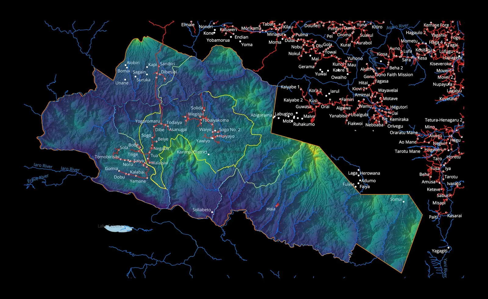
The proposed conservation area targets about 302,000 hectares by 2030. As of 2026, about 168,000 hectares are confirmed under free, prior and informed consent (FPIC): 14 of Karimui's 27 wards have signed consent forms, representing more than 68 clans, and 13 wards are still to sign. Around 50,000 people live in the Karimui LLG area.

Jared Diamond's surveys
Foundational bird surveys of the Karimui Basin, describing several new subspecies — including the Karimui Owlet-Nightjar, from a single specimen given by a local man. Published in American Museum Novitates (1967).
Flannery's mammal collections
Large series of mammals collected around Mount Karimui are referenced in Tim Flannery's Mammals of New Guinea (1990; revised 1995), the first comprehensive reference on the region's mammals.
Freeman's resurvey
Ben Freeman and Alexandra Class Freeman documented 271 bird species (238 forest-dwelling) and revealed dramatic climate-driven range shifts. Published in the Bulletin of the British Ornithologists' Club (2014).
Owlet-Nightjar rediscovered
After 52 years without a record, the Karimui Owlet-Nightjar was found on the northeast ridge at about 1,530–1,570 m. A local hunter led the team to its roosting tree.
The Karimui Owlet-Nightjar.
Aegotheles terborghi — one of the world's rarest and least-known birds. Described from a single specimen in 1964, lost for 52 years, rediscovered in 2016 and recognised as a full species in 2024. Larger than any other owlet-nightjar, with dark grey plumage and heavy barring, it is found only in the montane forests of Mt Karimui — the forests KCRMPI works to protect.
Named by Jared Diamond after Dr John Terborgh, who joined him on the 1964–65 expeditions.
bird species shifting upslope
average range shift
temperature rise over 50 years


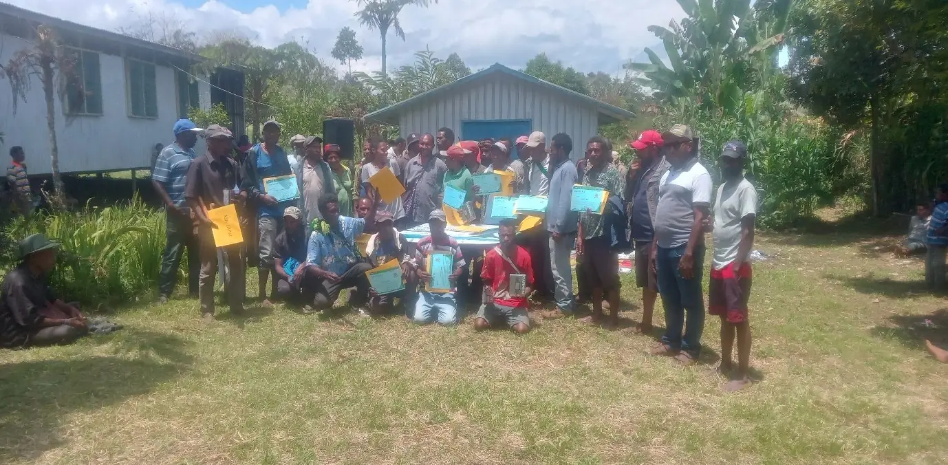
About 70% of the technical preparation for gazettal has been completed with Partners with Melanesians. In 2026, the Minister directed CEPA's Managing Director to fast-track the gazettal and declaration of the conservation area, and CEPA's technical officers are resuming the work, aiming to finish by the end of 2026.
Fourteen of Karimui's 27 wards have signed FPIC consent forms, and 168,000 hectares are confirmed. Bringing the remaining 13 wards into the process, toward the 302,000-hectare target, continues through 2030.
Being fast-tracked by CEPA under the PNG Protected Areas Act 2024
When gazetted, this would be:
- The first conservation area in the PNG Highlands
- One of the largest protected areas in Papua New Guinea
- A substantial contribution to PNG's 30x30 target
- A landmark application of the Protected Areas Act 2024
Wards whose clans have signed consent forms, representing more than 68 clans. The remaining 13 are still to sign.
Explore how scientific, donor and implementation partners can contribute to the gazettal and long-term management of Mt Karimui.